Description
We are experiencing rapid environmental changes due to human activity ranging from intensification of agriculture to changes in weather patterns and due to climate change. Understanding the movement behaviour of wild animals such as birds in response to these changes is of utmost importance if we are to conserve their populations. One way we can acheive this is by using GPS trackers which can provide a detailed insight into the behaviour and habitat selection of the species we study.

University of East Anglia, Miromico, Movetech-Telemetry and Copernicus Technologies have devoted themselves to conduct research on this topic and to contribute to the field in the following ways.
- Improve our understanding of the movement behaviour of birds’ and the threats they face.
- Engage the public and key stakeholders such as politicians about solutions to conserve these species and reduce the risks to wildlife associated with developments such as wind farms.
- Create awareness of the importance of biodiversity and how through research we can create better outcomes for people and wildlife.
Solution
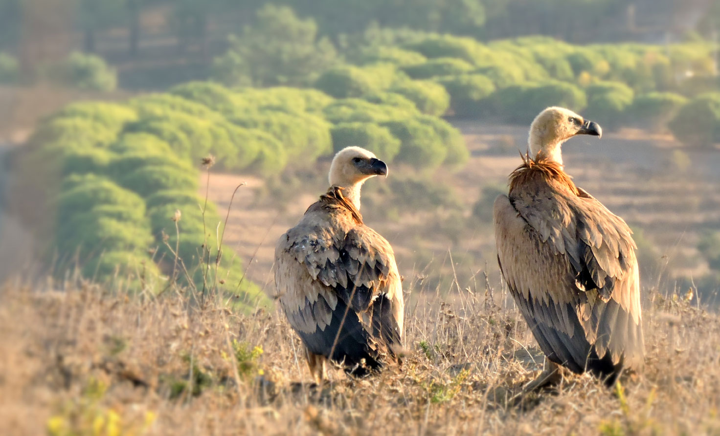
In this study the research team deployed six GPS-LoRa trackers on Griffon Vultures Gyps fulvus; the aims for this study were: (1) to test the performance of these trackers during deployment on a large soaring bird and (2) to understand the movements of these birds in relation to wind farms because this species is highly susceptible to collision with wind turbines and power lines.

To receive the location messages from the tagged animals, four LoRaWAN gateways were deplyed - one near Sagres, one near Castro Verde further in land, one near Tavira and one in Tarifa, close to Gibraltar. The gateways receive the data sent by the GPS trackers and then forward it via the mobile phone network to the LORIOT server.

Application
The used components:
- Solar-powered LoRaWAN GPS trackers from Movetech-Telemetry
- A mix of solar-powered and mains-powered gateways made by UEA
- IoT Wonderland tracking & visualization platform
- Copernicus Technologies IoT Consulting
- LORIOT Public Professional Network Server

- The devices are solar-powered which allows for collecting data over prolonged periods of time. If no network coverage is available, they store the data until a gateway comes in range.
- Due to the connection of gateways via the mobile network, it is crucial to increase the receive window delay in the LORIOT server configuration, to avoid issues with downlinks and confirmed uplinks.
- IoT Wonderland platform seamlessly integrates with the LORIOT Network Server and the tracking devices. It converts the received data into locations and displays them on the map. Paths are plotted in correct order based on GPS time information.
The Return
Main advantages of the solution are:
- GPS Tracking Solution tailored to the needs in wildlife monitoring
- State-of-the-art data visualization
- Independent and stand-alone network operation in remote areas


